Project Overview
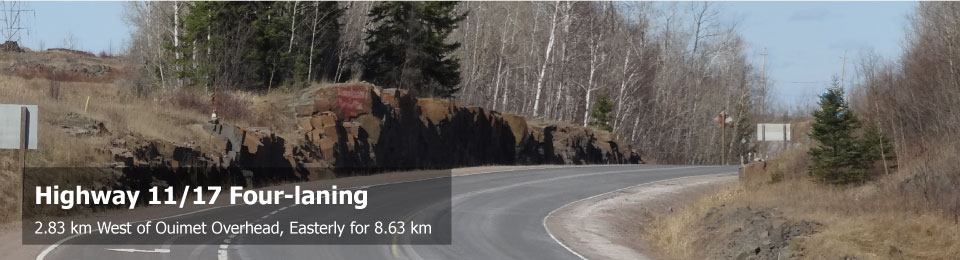
WSP (formerly MMM Group Limited), on behalf of the Ministry of Transportation (MTO), completed tge Preliminary Design, Detail Design and Class Environmental Assessment (EA) Study for the four-laning of Highway 11/17 from 2.83 km west of Ouimet Overhead, easterly 8.63 km. The study limits of this project are located within the Municipality of Shuniah and Township of Dorion, as shown in the key plan below.
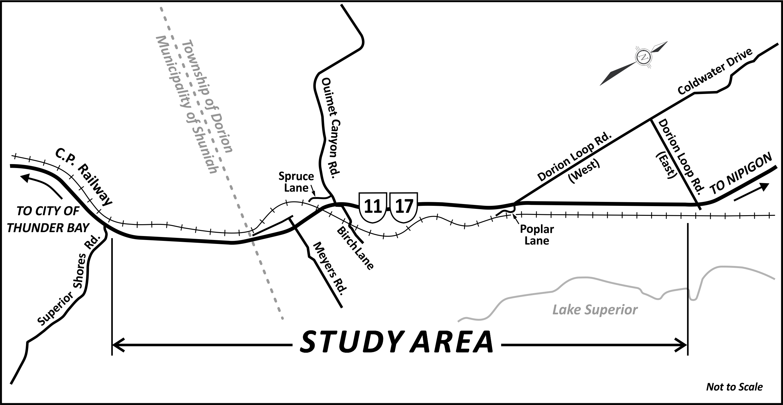
Click to enlarge
Highway 11/17 is a strategic link in the Trans-Canada Highway system. Transcontinental, regional and local traffic rely heavily on this highway and there is no alternative continuous roadway between Thunder Bay and Nipigon (100 km). The four-laning will provide a parallel, continuous, alternative route in the event of a roadway collision/incident, natural disaster or structural loss, which could lead to the closure of the existing roadway. In addition, the proposed four-laning will:
- Ultimately provide a parallel, continuous, alternative route between Thunder Bay and Nipigon;
- Protect the Region’s economy by removing the potential economic impact of the closure of Highway11/17; and
- Improve traffic operations and highway safety along this section of the Trans-Canada Highway.
The study will prepare a preferred, four-laned design alternative to address the current and future needs of Highway 11/17 within the study limits.
The Preliminary Design, Detail Design and Class EA Study was built upon the Planning and Preliminary Design phase (completed in 1997), which determined the planning requirements for the four-laning of Highway 11/17. At that time, an Environmental Study Report (ESR) documented operational and capacity deficiencies, the evaluation of alternatives, and identified a preferred preliminary design plan to address the current and future needs of Highway 11/17 within the study limits. The four-lane highway corridor was designated (protected) in 2003.
Once completed, the four-laning of Highway 11/17 through the study area will create a continuous 100 kilometre stretch of four-lane divided highway easterly from Thunder Bay.